


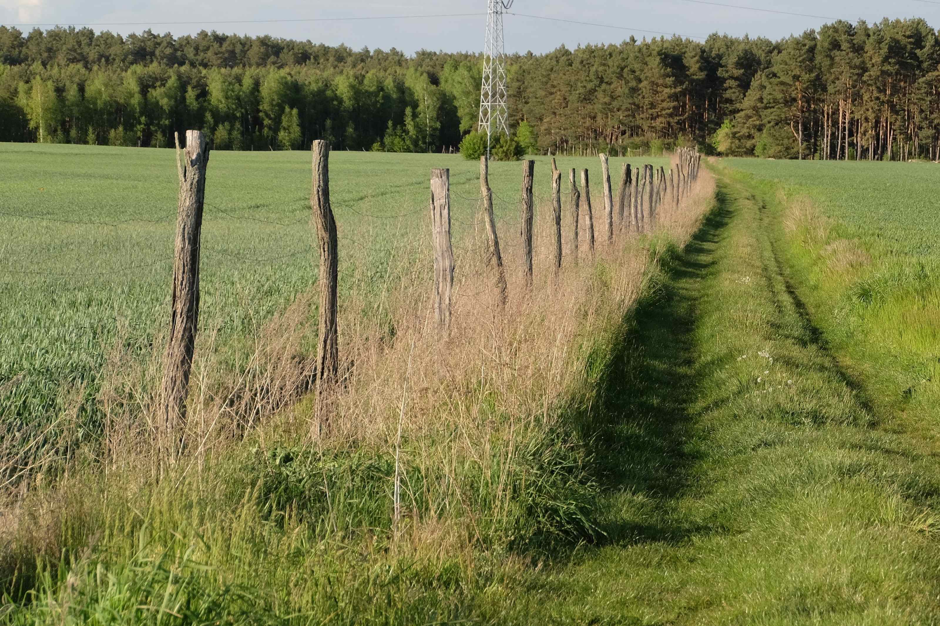
The listing photos are always the same: a dirt two-track curling into the trees, a hand-lettered “LAND FOR SALE” sign, and copy written like a permission slip — secluded, unrestricted, bring your dream home. Nothing in that photo says whether the two-track is a recorded easement, whether the county permits anything under 1,000 square feet, or whether the ridge to the south eats your whole winter solar window. Every one of those is a findable yes/no answer — weeks before you’d otherwise learn it the hard way, after the deposit stops being refundable.
Land due diligence has one job: turn “probably fine” into a verified number before your earnest money is at risk. The method is identical everywhere — access, water, sun, risk, buildability, checked in the same order whether the parcel sits in Montana or Mecklenburg — but the office you call and the law behind each answer changes by country, and inside the US, by state. Still choosing where to look at all? A siting screen like cleanz.one is built for that earlier stage.
The 15-Point Spine
Every row is a phone call or public-records lookup, most free, all cheaper before you own the land than after.
| # | Check | Verify by | Red flag |
|---|---|---|---|
| 1 | Legal access is recorded, not assumed | Title commitment, Schedule B | Unrecorded or “permissive” road only |
| 2 | Easement width & maintenance duty | Deed + county road standard | <16–20 ft clear, or no maintenance pact |
| 3 | Mineral / subsurface rights | Mineral title search (US); mining authority (Europe) | Severed estate, no surface-use deal |
| 4 | Groundwater depth & yield nearby | County well-completion reports, ~1 mi | No nearby wells, or <1–2 gpm |
| 5 | Septic feasibility (soil) | Perc test on the actual site | >~120 min/inch, high water table |
| 6 | Water rights / abstraction license | State or regional water-rights office | No exempt-well allowance; over threshold |
| 7 | True winter solar window | Sun-path check at the panel site | Obstruction taller than shadow-multiplier height |
| 8 | Aspect, slope & cold-air drainage | Topo map + dawn site walk | North-facing slope, or a frost hollow |
| 9 | Flood zone | FEMA / national flood-risk map | Zone A/AE/V/VE, or mapped perimeter |
| 10 | Wildfire risk zone | USFS/state or regional risk map | “Very High” hazard severity |
| 11 | Buildable vs. deeded acreage | Wetland delineation + setback map | Wetlands/slope eating most of the parcel |
| 12 | Zoning & minimum dwelling size | Planning dept. / Gemeinde office | Outside a buildable settlement boundary |
| 13 | Grid-connection rights & cost | Written utility/DSO quote | 5-figure trenching, or unwaivable fee (Europe) |
| 14 | Cell signal & internet path | Carrier map + on-site bar check | No LTE, no clear sky arc |
| 15 | County’s future land-use map | Comprehensive / master plan | Neighbor parcel zoned industrial/quarry |
Access Isn’t Real Until It’s Recorded
A road you drove in on isn’t the same as a road you have a legal right to keep driving on. Plenty of rural parcels are sold with access that’s never been more than a neighbor’s goodwill — no recorded easement, just a gate that’s always been left open. That arrangement can end the day the neighbor sells, and a landlocked parcel can become unbuildable if the county won’t permit without confirmed legal access. Pull the title commitment and read Schedule B — it lists every recorded easement, and its absence is exactly as informative as its presence. If one exists, check its width against your county’s road standard (commonly 16–20 ft clear) and who’s obligated to maintain it.
The Mineral Rights Question Almost Nobody Asks at Closing
Most buyers assume owning the surface means owning everything under it. In a lot of the US, it doesn’t: a “severed” estate is created when a previous owner sells the surface but keeps — or already sold — the oil, gas, coal, or mineral rights underneath. States including Texas, Colorado, Pennsylvania, and West Virginia treat the mineral estate as legally “dominant,” generally free to enter and extract with or without your sign-off, unless the deed says otherwise. You can own 40 acres outright and still not stop a lease-holder from putting a well pad where the garden was going. The fix is a mineral title search — separate from the standard owner’s search, typically $150–$500 through a title company or landman — tracing whether the estate was ever severed.
Europe flips the default: in Germany, Spain, France and most of Europe, subsurface minerals are governed by national mining law rather than surface land title, so this kind of fight rarely happens here. What still matters is whether the state has already granted an extraction concession over your parcel — rare for a residential lot, but worth a quick check with the regional mining authority near any active extraction area.
Water: Confirm the Physical Source Before the Legal Right
Three checks, one order. First, whether water is physically there: county well-completion reports for wells within roughly a mile give real depth-and-yield data before you pay a driller a cent. Second, whether the soil will pass a septic system — a perc test on the exact drainfield site, not a decades-old test from a previous owner’s file. Third, whether you’re legally allowed to use what you find — the US riparian/prior-appropriation split and Europe’s abstraction thresholds get full treatment in the well/spring/rain-catchment guide; never assume “spring-fed” means it’s yours.
Greywater and rainwater law is its own patchwork in Europe — some countries encourage rainwater harvesting for non-potable use, others require notification first, and outdoor-irrigation rules vary by region. Confirm with your national or regional water authority.
The Shadow Math: Checking Winter Sun in 15 Minutes on a Site Visit
A listing that says “great southern exposure” is describing July. The number that actually sizes your solar array is the worst day of the year — the winter solstice, when the sun climbs to its lowest noon altitude and every tree, ridge, and rooftop to the south throws its longest shadow across the array.
The sun’s altitude at solar noon on the winter solstice follows one formula anywhere in the Northern Hemisphere: 90° – your latitude – 23.4°. Flip that into a shadow-length multiplier — how many times an obstruction’s height its worst-case noon shadow reaches — and it grows fast as you move north.
| Latitude | Solstice noon sun altitude | Shadow-length multiplier |
|---|---|---|
| 30°N (Houston, Orlando) | ~37° | 1.3× obstruction height |
| 40°N (Denver, Madrid, Beijing) | ~27° | 2.0× obstruction height |
| 45°N (Minneapolis, Milan, Bordeaux) | ~22° | 2.5× obstruction height |
| 50°N (Frankfurt, Prague, S. England) | ~17° | 3.3× obstruction height |
Worked example
A 60-foot tree line south of a cabin site needs roughly 120 feet of clearance at 40°N (60 × 2.0) to clear worst-case winter shade at solar noon. At 50°N — Belgium, most of Germany, southern England — the same tree needs almost 200 feet (60 × 3.3). On-site, face true south and sight along roughly a 120° arc from southeast to southwest — a free tool (SunCalc.org) or a $20–$40 sun-survey compass card or app (or the ~$300 Solar Pathfinder) does this in a minute. Whatever blocks that arc at winter noon blocks it worse three hours either side, where most of a winter day’s production happens. Run the site’s real numbers in the solar sizing calculator.
Aspect matters too: a due-south slope sees meaningfully more winter sun than flat ground, while a north-facing slope — or a frost-holding hollow where cold air pools downhill at dawn — can cost output the tree line never would.
Flood, Fire, and the Acreage You Can Actually Build On
The base FEMA flood zone — a Special Flood Hazard Area starting with “A” or “V” — means a 1% annual flood chance. Look it up free at FEMA’s Flood Map Service Center before a creek in the listing photos wins you over. Europe maps flood risk nationally too, and in some countries it has real teeth: France’s PPRI can flatly prohibit new construction inside a mapped high-risk perimeter.
Key number
26%
The real odds a home in a mapped 1%-annual-chance flood zone floods at least once over a standard 30-year mortgage — not the “1-in-100” the name implies. Compound 1% annual risk over 30 years (1 – 0.99³&sup0;) and it lands at roughly one-in-four. Pull the actual zone before you trust a listing’s word for it.
Wildfire risk runs the same way, mapped and increasingly regulated. The US Forest Service’s free Wildfire Risk to Communities tool and state maps like CAL FIRE’s Fire Hazard Severity Zones let you check a parcel before you own it; a “Very High” zone can mean mandatory defensible-space clearance (100 feet in California), stricter building rules, and increasingly an insurer declining to write a policy at all, pushing you onto a state FAIR Plan at a much higher premium. Southern Europe is moving the same way after recent fire seasons.
None of that matters if the “35 acres” on the listing isn’t 35 buildable acres. Wetlands, floodways, and slopes over roughly 15–25% — often a hard cap for a conventional septic drainfield — routinely eat a third or more of a parcel’s gross acreage before setbacks even apply. A formal wetland delineation (typically $1,500–$4,000) is the only number worth trusting over the agent’s description — commission one before assuming the prettiest spot on the parcel is legal to build on.
Zoning Today, and What the County’s Plan Says About Tomorrow
Two questions live under “zoning,” and most buyers only ask the first. The first is whether your structure is legal today — current zoning, minimum dwelling size (commonly 600–1,000 sq ft in a lot of rural US counties, covered fully in the US permitting guide), and whether the parcel sits inside a buildable settlement boundary at all. In much of Europe that inside/outside line is the whole ballgame: Germany splits every parcel into Innenbereich (built-up, generally buildable) and Außenbereich (open countryside), where new construction is “privileged” almost exclusively for working farms — a hobby homestead on a scenic parcel can be very hard to permit. France and Spain run the same test through local urbanisme/urbanismo plans. Call the planning office before you make an offer, and get the answer in writing.
The second question is what the office’s adopted comprehensive or master plan — not the current zoning map — says about the surrounding land ten years out; a quiet agricultural parcel today can sit next to one already slated for industrial use or a quarry, and the plan is public and free to request. Grid-connection rights deserve the same check: even a buyer who’ll never touch a utility line benefits from a written cost-to-property-line quote for resale value, and several European countries grant something closer to a universal right to connect, cost shared rather than billed entirely to the owner.
Cell and internet reach is the fastest check on the list: pull your carrier’s coverage map for the exact coordinates, then confirm on-site with an actual phone — coverage maps run optimistic in rural terrain. No usable LTE isn’t a dealbreaker — it’s what makes satellite the default choice — but the site also needs a clear view of the sky; the Starlink off-grid power guide covers the obstruction rule.
Land Due-Diligence FAQ
Do I need a lawyer to review an off-grid land contract?
Not always, but it’s worth it once access, mineral, or water rights are anything but simple. A flat-fee review commonly runs $300–$800 — cheap insurance against an $8,000–$60,000 system going on top of the land. Ask specifically about easement recording, mineral reservations, and the title’s Schedule B exceptions.
What’s the fastest way to disqualify a bad parcel before spending money?
One phone call, before a perc test or survey: ask the county or Gemeinde planning office for minimum dwelling size, current zoning, and whether the parcel sits inside or outside a buildable settlement boundary. That single call kills more deals than any technical test, for free.
Can I still buy land if the mineral rights were severed?
Usually, yes — severed minerals are common, and most severed-mineral parcels never see an active claim. Get the mineral title search done so the exposure is documented, ask for a surface-use agreement if a lease is active, and price the risk in rather than assuming it away.
Is the “buildable acres” figure on a listing accurate?
Treat it as the agent’s estimate, not a survey. It rarely reflects a wetland delineation, slope limits, or a setback map. Request the delineation before assuming the prettiest spot on the parcel is the one you can legally build on.
Fifteen checks, mostly free phone calls and public records, every one cheaper before closing than after. The printable version below turns this into a document you can staple to an offer.